Portfolio
Accurate Land Surveying
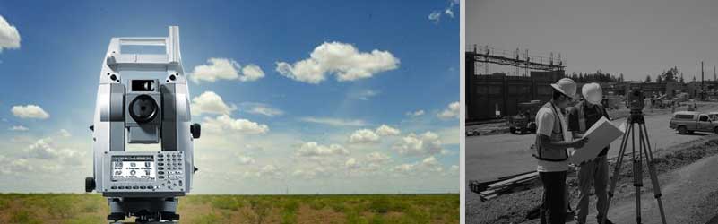
The surveyor is an important component of the construction stage of each and every project. Michael Surveying and Mapping P.C., establishes the foundation that reinforces precise construction, design, and cost efficient site development of each building, utility, road way or land development endeavor. Delivering our information in a timely manner ensures a precise design that addresses not only man-made and natural resources but the obstacles that can affect the cost and condition of the final product.
Below is a small portion of our extensive portfolio representing the scope and depth of our surveying experience.
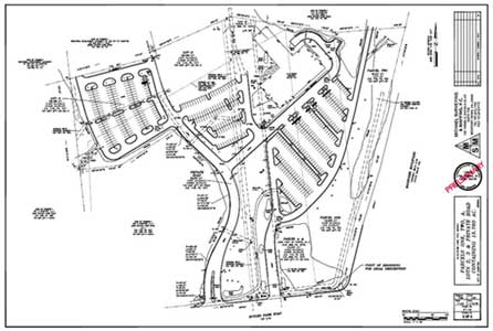
ALTA/ACSM Land Title Surveys
Wilsondale Apartments Project
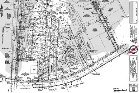
Sentara Fitness Center Hampton, VA
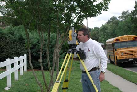
Boundary Surveys
British Petroleum-Amoco Oil Refinery
City of Virginia Beach Pump Station Rehab Project
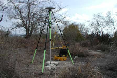
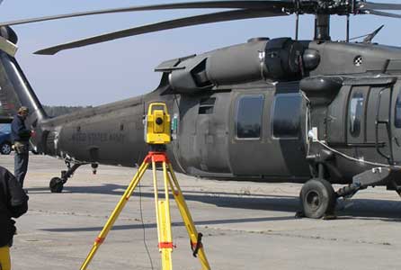
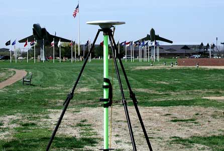
Geodetic Control Surveys
City of Poquoson, VA
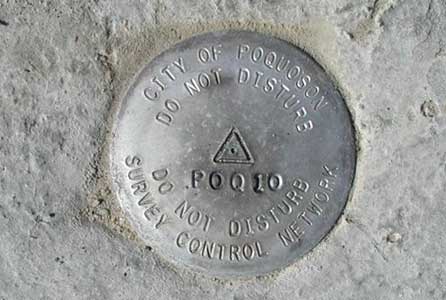
Town of Smithfield, VA
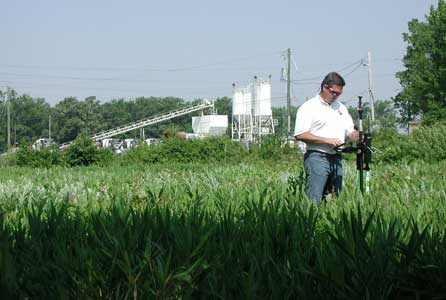
GIS Surveying
VA Power Electrical Distribution Project at Langley AFB
Fiber Optic Installation Project
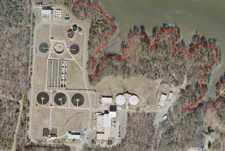
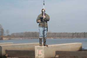
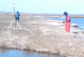
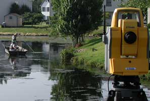
Hydrographic
Walkers Dam Rehabilitation
Cape Charles Beach Profile Study
North Hampton Storm Sewer Study
Topographic
City of Hampton Court House Project
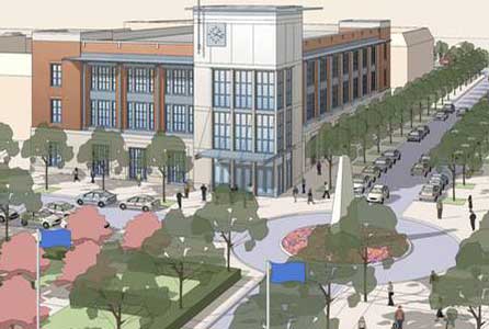
HRSD Waste Water Treatment Plant
Yorktown, VA